
The Deadly Legacy of UXO in Laos
UXO in Laos remains a major hazard after extensive bombing. Around 80 million unexploded devices still impact land use, agriculture, and daily safety across the
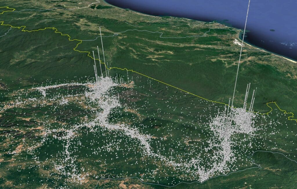


UXO in Laos remains a major hazard after extensive bombing. Around 80 million unexploded devices still impact land use, agriculture, and daily safety across the

Oscar 8 in Laos was a 1967 US Special Forces operation targeting an NVA forward base. The mission faced heavy resistance and resulted in significant

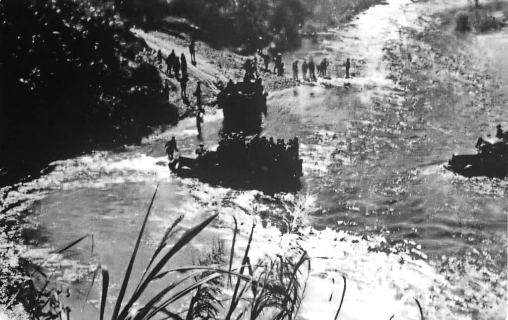
Operation Lam Son 719 was a 1971 ARVN campaign into Laos to disrupt the Ho Chi Minh Trail. Despite US support, the mission resulted in