
The Ho Chi Minh Trail: Then and Now (Part 1)
We’ve spent more than 20 years exploring and the Ho Chi Minh Trail in Laos, and have compiled this set of images comparing what it


We’ve spent more than 20 years exploring and the Ho Chi Minh Trail in Laos, and have compiled this set of images comparing what it

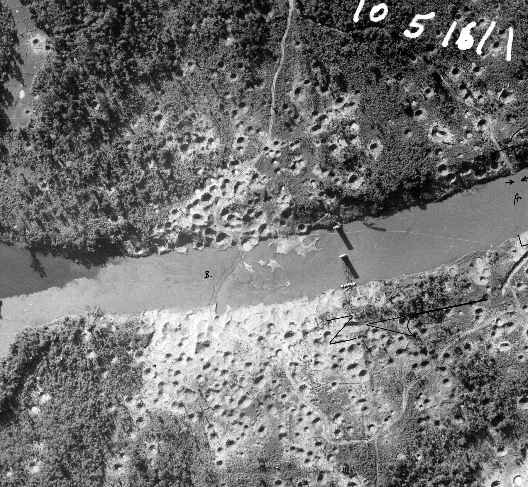
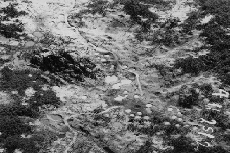
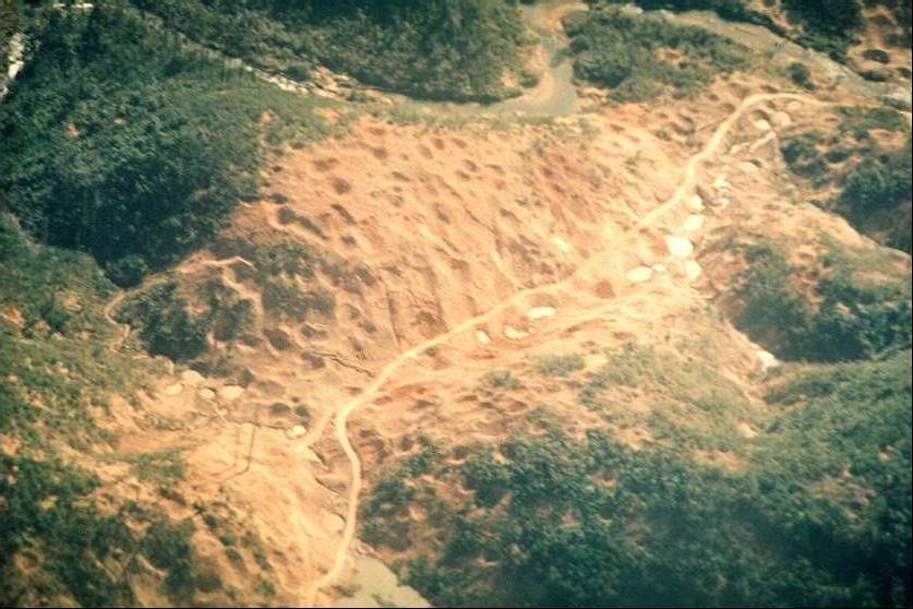
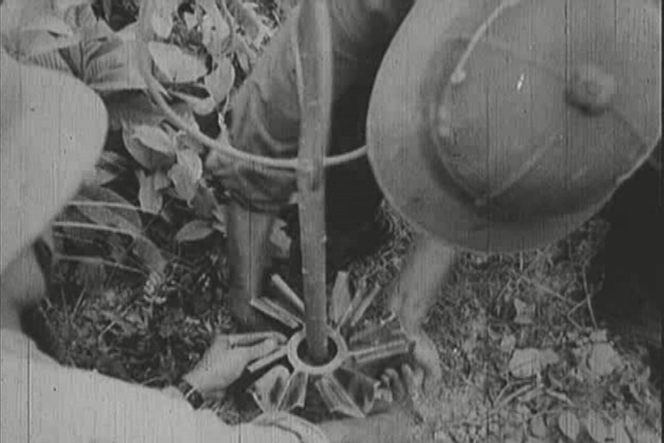
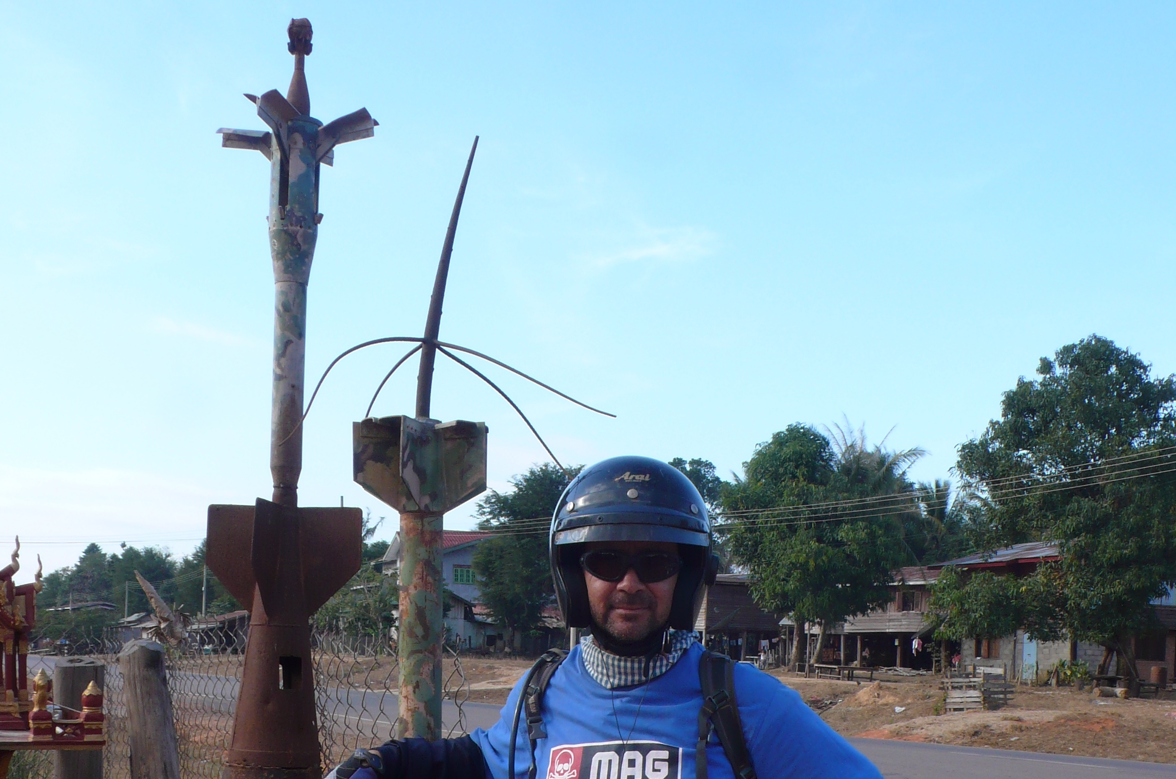
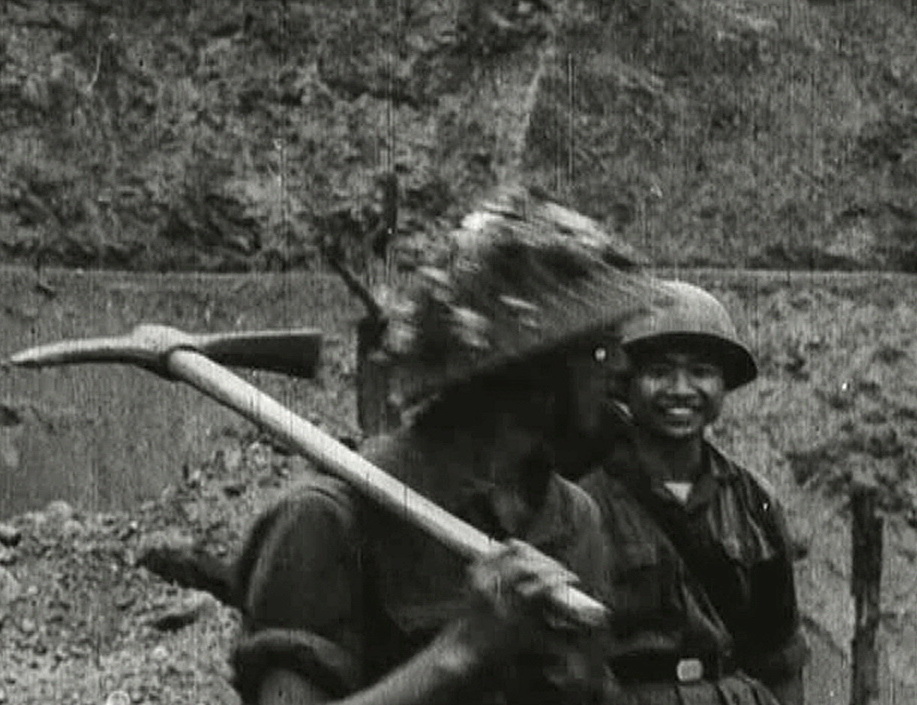
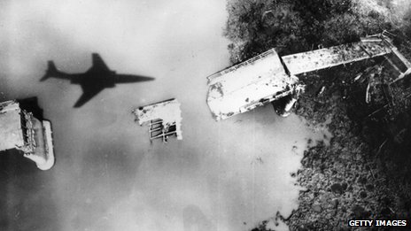
Cluster bombs, shell casings, and original cobblestoned sections of the Ho Chi Minh Trail can still be seen in Laos. Explore our massive Ho Chi
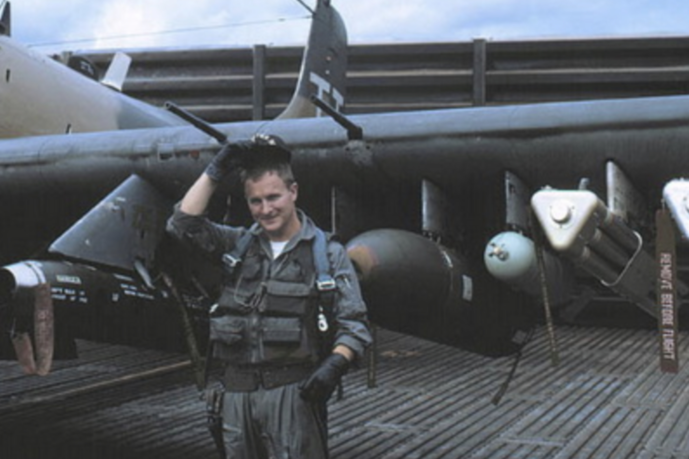
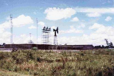
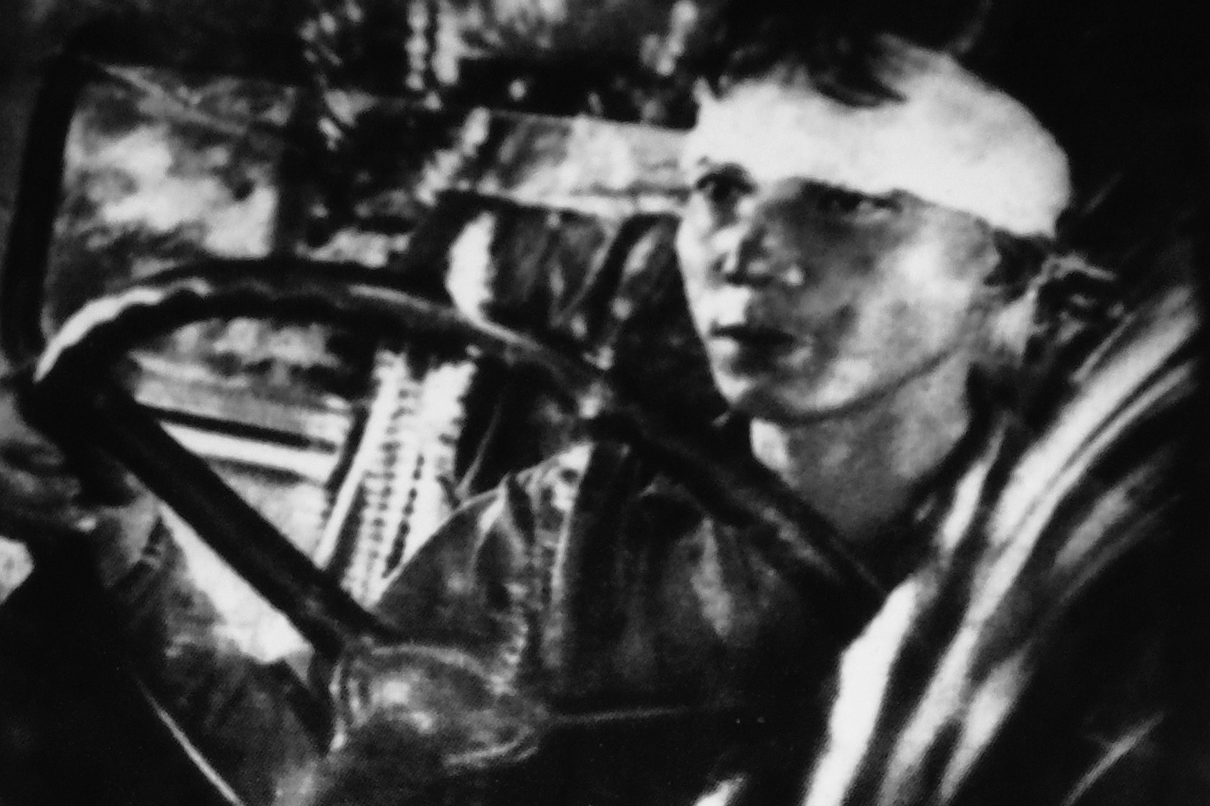
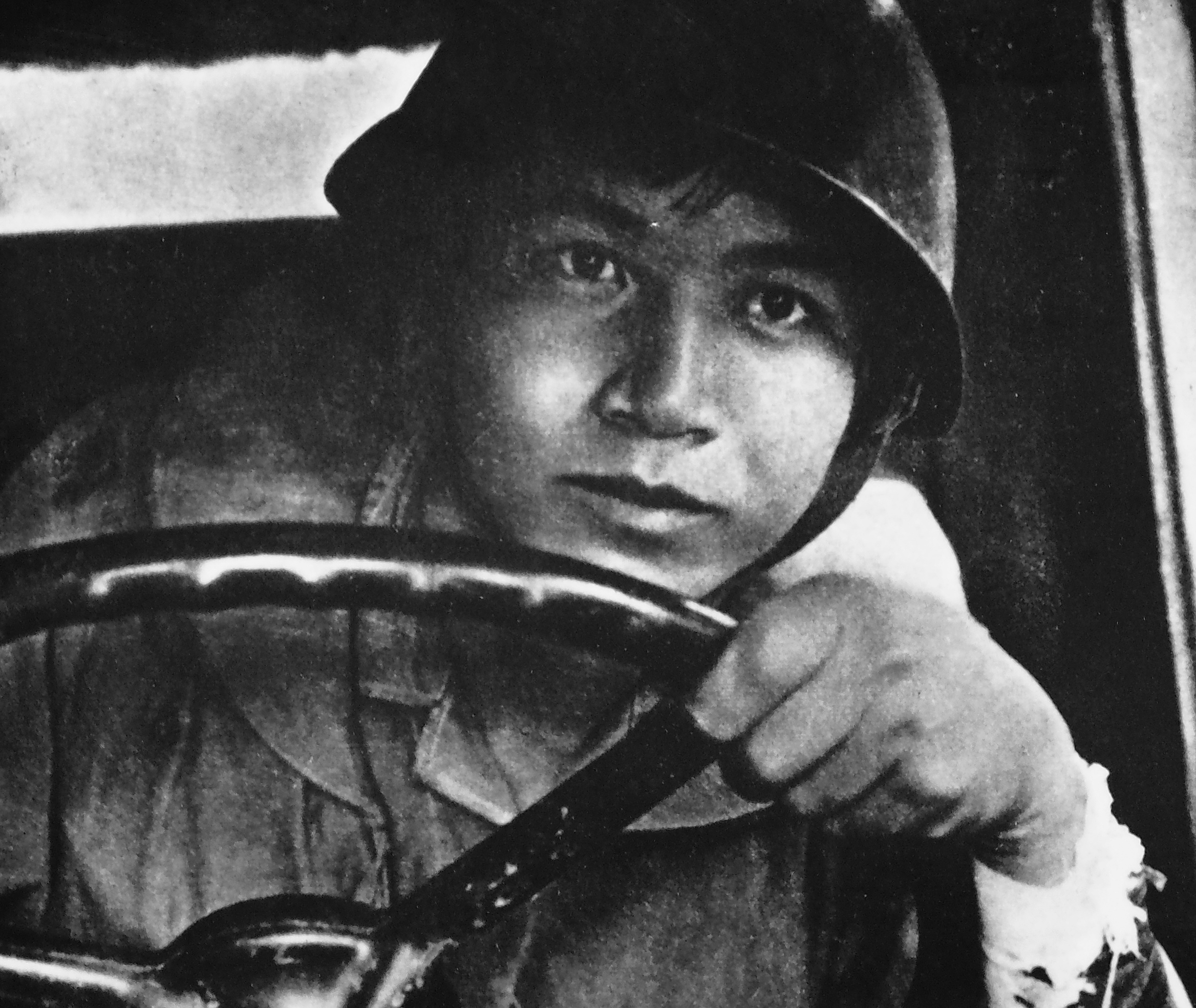
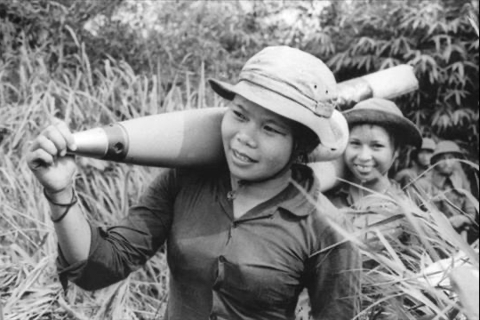
The Trail was a vital logistical network involving communication and pipeline networks. Keep exploring one of the largest photo collections of the Ho Chi Minh